
I have reported this to Fenland Parks & Open Spaces.

I have reported this to Fenland Parks & Open Spaces.
My thanks to Discovering Whittlesea – Although 6,000 copies go out not everyone in our area receives it-hence this post.


I’m sure many love to see the ‘Santa Float’ around the town and villages, just think of helping for a couple of evenings once a year…..


Thanks to Discovering Whittlesea..
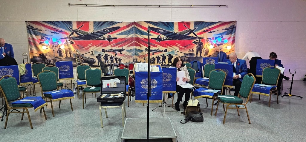
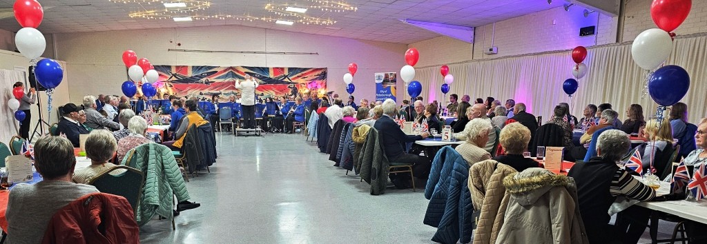
Another year’s wonderful live music from the Peterborough Concert Band, celebrating what would have been our late Queen’s 100th Birthday.
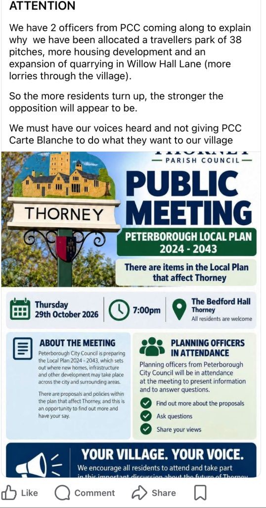
The proposed expansion of Willow Hall Quarry (many may not be aware) – Many of the HGV’s that come from this quarry transit Whittlesey.
(The Thory haulage Group now have some 200 HGV’s).
Thorney has issues and some may spill over with even more yes more HGV’s
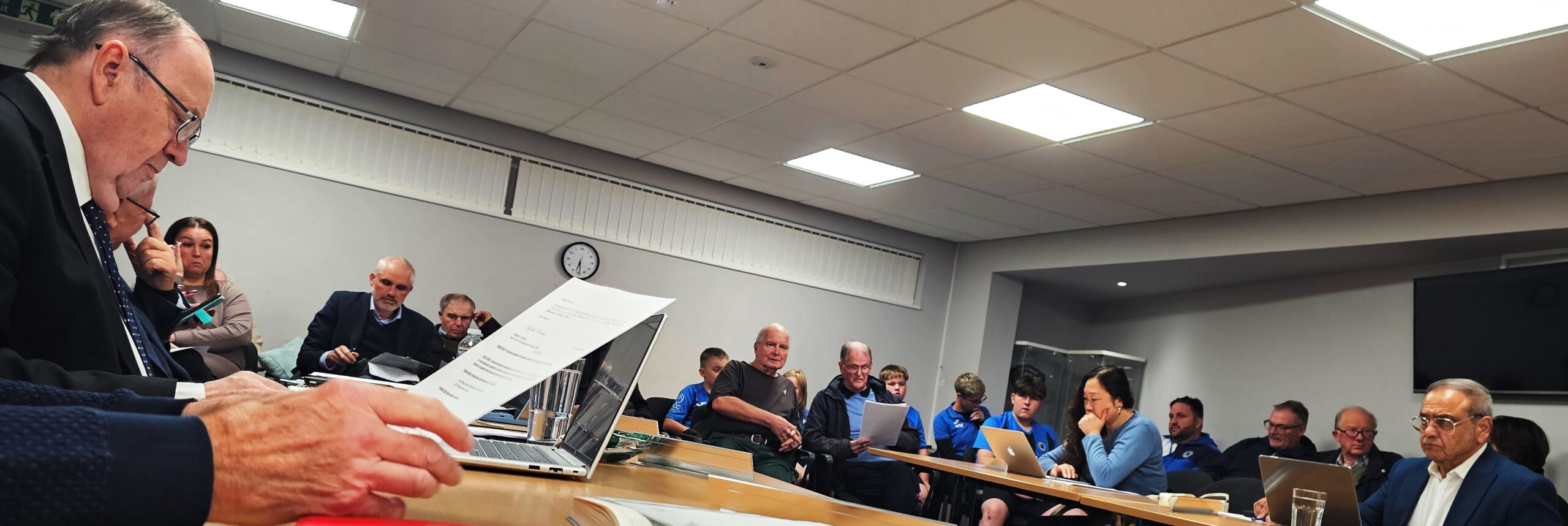
16 Public (including 6 young people)
There was no Police Report this month, however Cllr Roy Gerstner informed, councillors and public of an issue with a male who has been causing issues of defecating and begging around our town, I have not named or will publish his picture – he is getting some ‘help’ –
However I urge anyone who is approached by this man NOT to give him any money and if he is anyway a problem to you the please contact me.
 The public forum was ‘active’ with several speakers, one of the main items was the future of football and sports @ Field of Dreams and Feldale Field (Drybread Road)
First up was Ex councillor Gary Swan, who passionately spoke of his historical involvement with grass routes football and offered any assistance he could to ensure that the future for facilities remain with our town.
 Next was regular Mr. Stephen Hodson, who brought the ongoing concerns issues and the forthcoming appeal by Johnsons Aggregates challenging the previous refusal to increase by nearly 100% the amount of waste they would like to process.
(see previous post).
Mr. Hodson has attended ‘dozens’ of meetings and has engaged with WTC on many occasions.
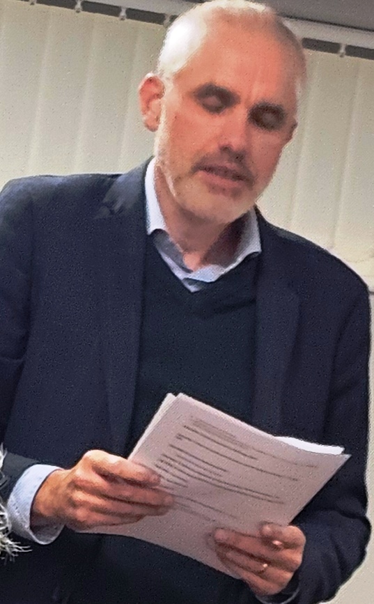 Alan Bessant, again a very regular attendee at WTC, on this occasion highlighting concerns of the future of ‘The Field of Dreams’ off Stonald Road, (there has been a previous posting about this sometime ago) –
Mr Bessant highlighted the need for some urgency dialogue with Forterra as there is limited time on the present contract (2029).
Cllr Laws stated she was working with Forterra
 Robert Windle another regular attendee and participant in the pubic forum, raised several issues/concerns, when/if facilities close there will be no facilities, SHS entitlement program.
Mr.Windle has been at the forefront of many events within our town, and has organised some wonderful ‘free’ events for a number of years.
The Whittlesey Extravaganza this year will be his last, it will be taken on by a new Chairman I understand.
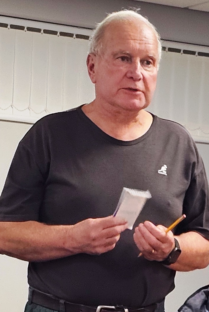

(l) Mr. Clive Vaughn Expressed a speedy (r) Mr. Jordan Moore, expressed his support
recovery of Cllr Rita Jolley who is in he may give to our schools.
Hospital. Ongoing support for the
Southern relief Road.
Items of interest : The poor state of the Turves war memorial, Cllr Wainwright requested a grant of £600:00 to regild and tidy up before armistice day.
Cllr Branton, has resigned his position on the Saxon Liaison Group, the chair asked if anyone else wanted to volunteer, after some considerable pause ! – Cllr Dickinson volunteered.
Market Place ongoing Parking concerns/issues.
Water report, Cambs Pubic Health have issued a letter stating there is no danger to public health from our watercourses. Several councillors still have concerns and are pushing to keep more testing to be carried out. Cllr Dorling offered to be the ‘Water Champion’
New planning regulations/law, debate on now the importance of both residents and applicants to engage with Whittlesey Town Council Planning Committee.
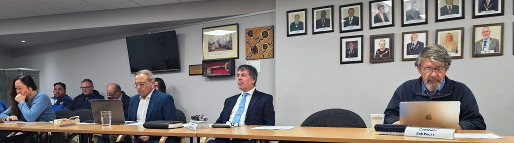
 I am Roy Gerstner the only Councillor in Whittlesey who makes regular reports on Council, Public and Community Group meetings.
I am aware that some Councillors post on Social Media.
I have done so for more than 15+ years both as a member of the public and as a Town and District Councillor.
I have made 9,900+ postings on this site.
10.5 Million+ hits on this site.
I have been elected as the Independent Fenland District Councillor for The South Ward of Whittlesey along with Gurninder Singh Gill (Conservative).
I have been elected as an Independent Whittlesey Town Councillor for the South Ward of Whittlesey South along with Cllr Diana Dickinson (Conservative)
Primarily I report on Council meetings & business (Both at FDC & WTC) to keep the electorate informed on both what I am actively involved with and in part other interests that I believe the electorate within Whittlesey & District may also wish to be informed.
My Web-Blog is community based and I report and comment on many events, meetings and subjects.
I do occasionally make a mistake and more than happy to correct if it pointed out to me.
If you have any issues or concerns outside of the Whittlesey South, you are welcome in the first instance to contact your own local Councillor.
If you contact me – I am more than happy to forward it to them. e&oe ©Roy Gerstner.
If you have a generic issue or wish to make a comment, I am more than happy to publish or promote any community events – (subject to meeting publishing criteria).
Disclaimer: – Please read this disclaimer (“disclaimer) carefully before using this website, operated by myself.
The content displayed is the intellectual property of myself and those whom I give credit.
You may not reuse, republish, or reprint such content of my or the owner of the material contained herein without consent.
All material posted is merely for educational and information purposes.
From the Saxongate residents group. Deadline midnight Monday 26 October: Saxon Pit – Johnsons planning appeal
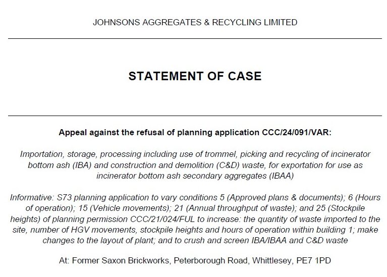
As many residents will know, Cambridgeshire County Council refused Johnsons Aggregates & Recycling Ltd’s (JARL) application to expand its operations at Saxon Pit Whittlesey back in March this year.
Johnsons has appealed that decision, and a public inquiry is scheduled for February 2027.
The deadline for residents to comment on the appeal is 11:59 pm on Monday 26 October.
In its appeal Statement of Case, Johnsons refers to the 68 individuals who made representations on the original planning application, alongside Saxongate and another organisation.
It is important to recognise that this figure relates to the planning application and does not represent the much larger number of environmental complaints made about Saxon Pit over the years.
CCC’s officer report records Whittlesey Town Council referring to more than 600 complaints about dust, noise and odour across Saxon Pit over two years. The recently published Cumulative Health Impact Assessment also highlights the reported cumulative impacts on residents’ lives and wellbeing.

Residents have responded to repeated planning applications, and around 50 travelled by coach to the JARL planning committee meeting. Not everyone has access to a computer or feels confident making a formal written submission. Their concerns should not carry less weight simply because they cannot navigate a complicated planning system.
We know that many residents have already spent considerable time raising concerns. Nevertheless, we would encourage everyone who can to find it in themselves to make a further representation before Monday’s deadline.
The Council refused the application on two principal grounds: noise and dust affecting the health and wellbeing of the local community, and cumulative highway impacts including capacity and related air quality.
These are particularly relevant subjects for comments. Residents can describe their own experiences of dust, noise, odour, HGV movements, traffic congestion on the A605 and nearby junctions, and effects on their health and wellbeing. Where possible, give specific examples, dates, times of day (especially early morning, evening and night) or locations, and explain how the proposed expansion, including longer operating hours, could make matters worse.
The Planning Inspectorate asks for comments to be factual, concise and relevant to the planning application. Avoid rumours, personal accusations, offensive language or allegations that cannot be substantiated.
Please be aware that your comments are not private. Your name and address may be disclosed alongside your representation. You can ask the Planning Inspectorate to withhold these details, although this may affect the weight given to your comments.
We believe this is another example of unfairness in the planning system. Residents may have to disclose their home addresses when raising legitimate concerns, while a corporate applicant can use its business address.
Saxongate is preparing a more detailed response examining the technical evidence, the planning application and the appellant’s arguments.
We appreciate this is short notice. These are complex matters and several important developments are coinciding, including the recent publication of the Cumulative Health Impact Assessment. There is a substantial amount of information to consider properly.
Johnsons’ Statement of Case can be read on the Council’s planning register under application CCC/24/091/VAR, so residents can see the arguments being advanced by the company. Accept the privacy notice, then open the Appeals tab:
https://planning.cambridgeshire.gov.uk/Planning/Display/CCC/24/091/VAR
Residents can submit their comments here:
https://appeal-planning-decision.service.gov.uk/comment-planning-appeal/appeals/6015261
The online form permits up to 8,000 characters and allows supporting documents to be attached. You must be over 18 to submit a comment.
If you have difficulty using the online form, contact the Planning Inspectorate on 0303 444 5000 for assistance (in working hours).
Please let others know and consider making your own representation. Individual experiences and factual evidence matter.
Saxongate Residents’ Group
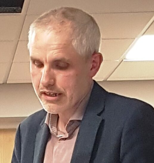 Several speakers on Football and Sports Facilities within Whittlesey – more to come.
During public forum resident Alan Bessant gave a passionate talk of the future of The Field of Dreams.